This page is where we put all our photographs of interesting and historic houses and buildings on Canvey Island that are not known about in enough detail for an article just to themselves. We also look at other features of the island’s urban geography, such as roadways and drains. The images below are presented in albums relevant to different features and areas of the island taken over the years in the 2010s.
Google Street View Captures of Lost Buildings
These photographs are not our own, but instead were screenshotted from Google Street View’s photography because the buildings have sadly since been demolished. Because we could not capture them personally in time, we resorted to Street View to capture images of these lost buildings. The dates are mixed although most are from the mid-late 2010s.

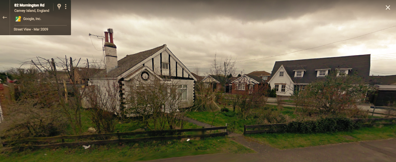
Very fine old house near Orange Rd, a tragic and seemingly pointless loss 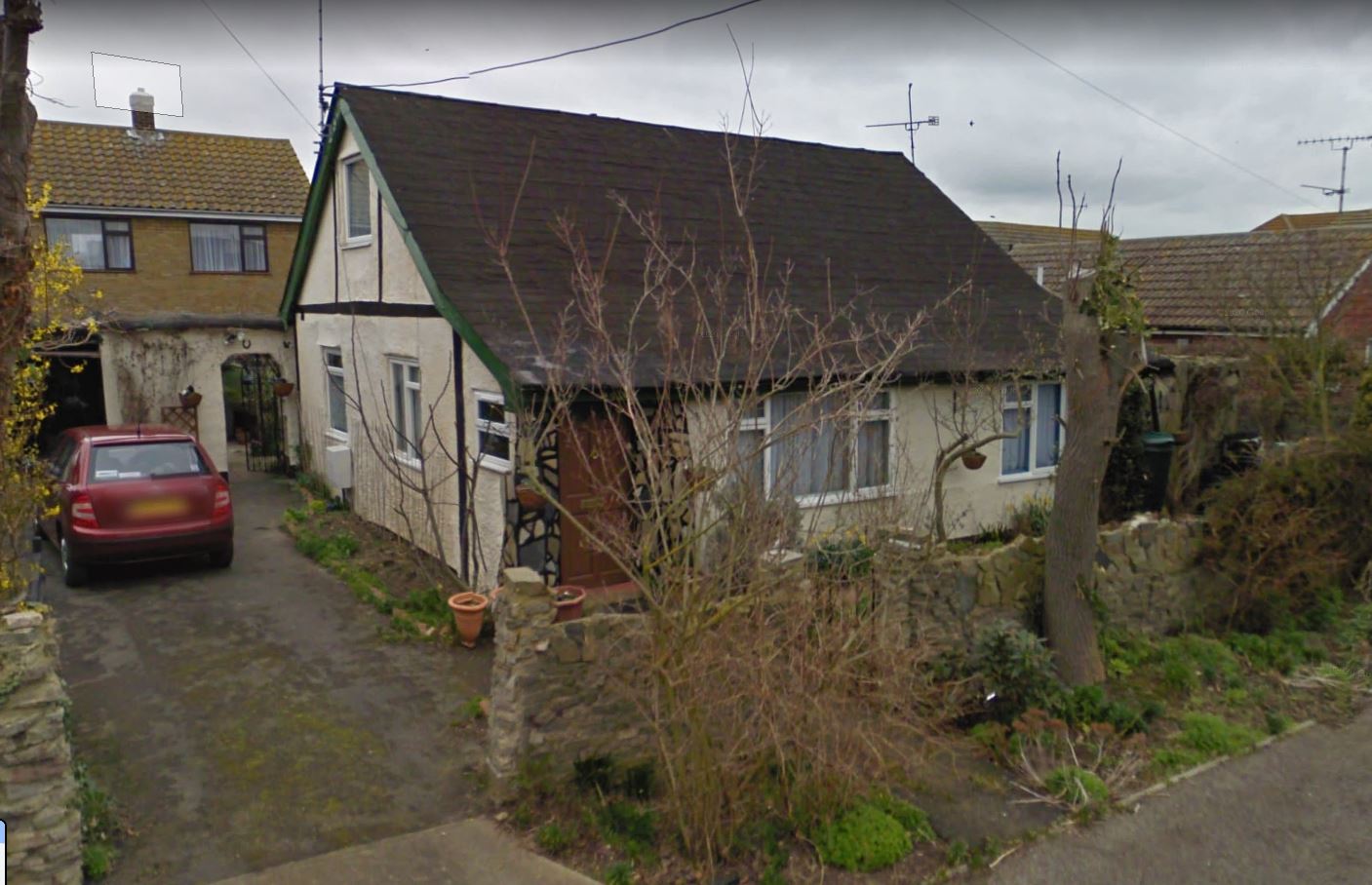
Old Fielder bungalow, Heilsburg Rd 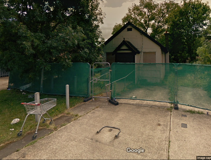
Womens Institute hall behind High St 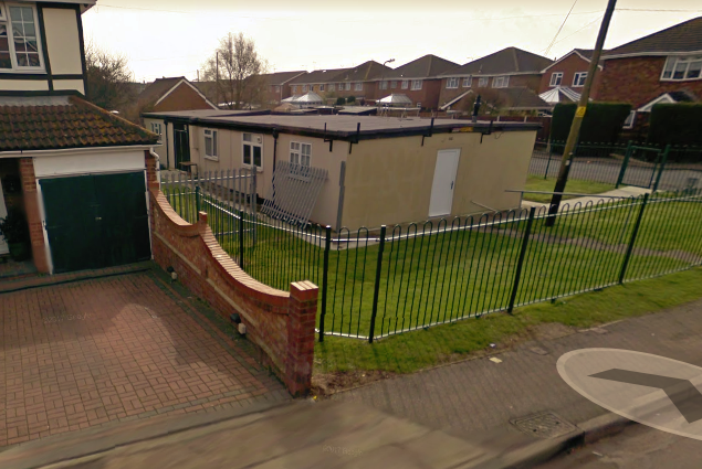
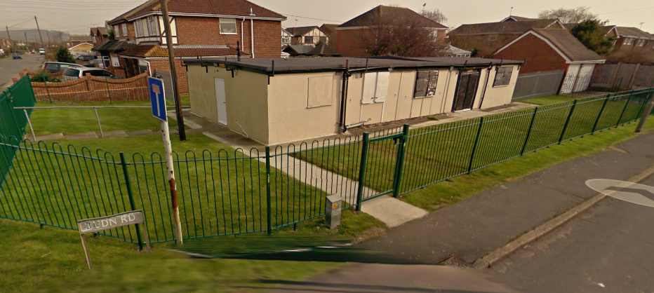
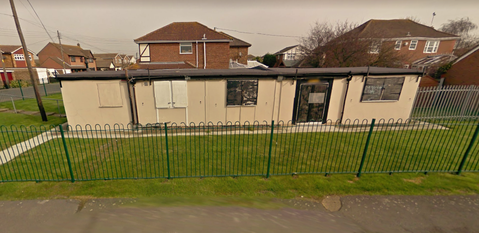
Post-war community hall – resembles a prefab house but may be of different origin 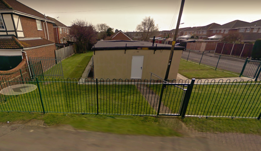
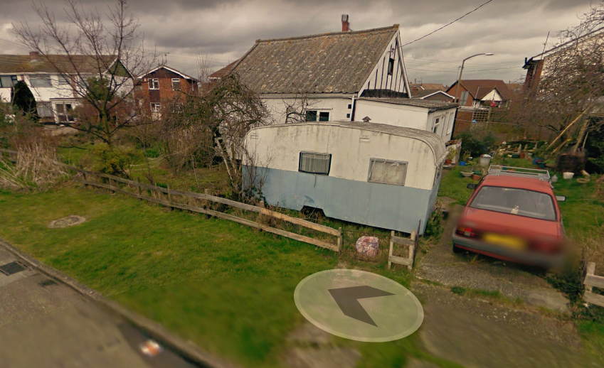
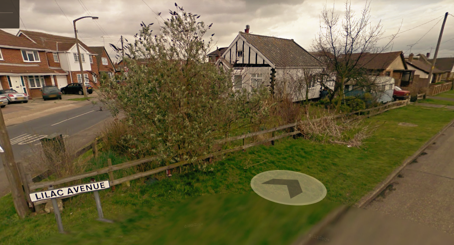
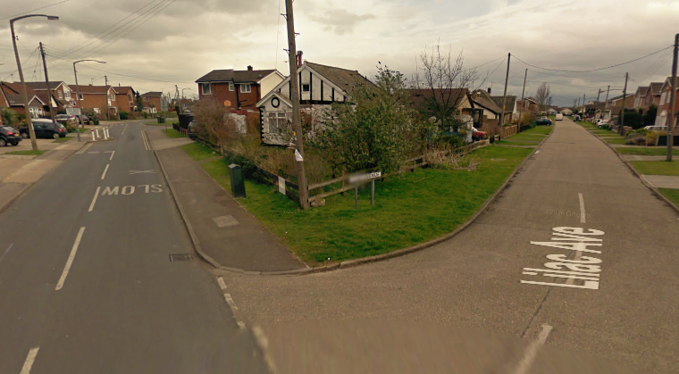
Old house from interwar period, Lilac Ave 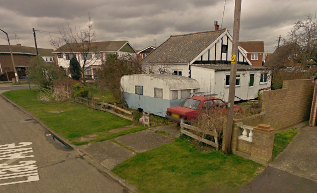
June 2015 – Central Canvey South of the Lake
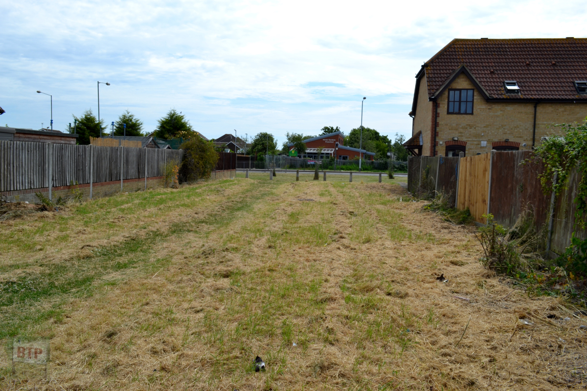
One of the more interesting places to note here is the vast unmade Tantelen Road which is in fact a grass road innaccessbile to vehicles, yet the houses still face out onto it. It gives you a glimpse into what Canvey must’ve been like before the roads were surfaced.
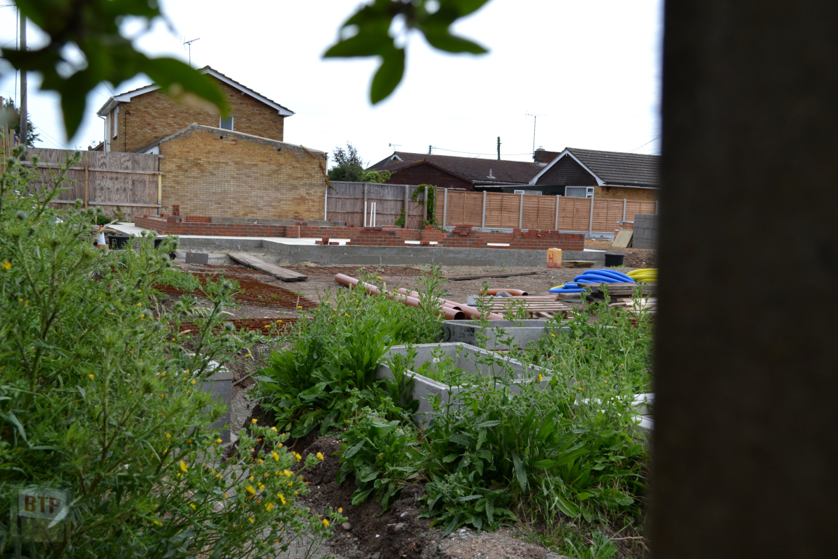
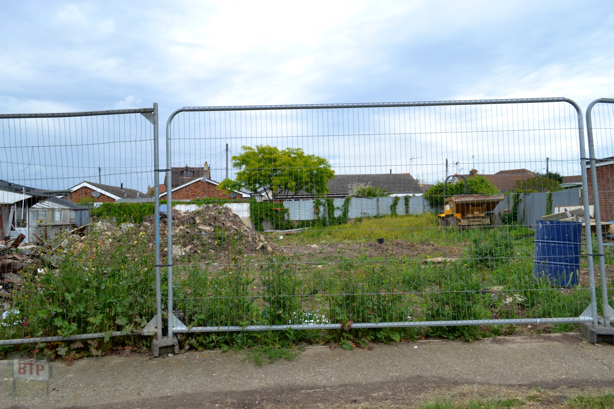
Building site, Paarl Road 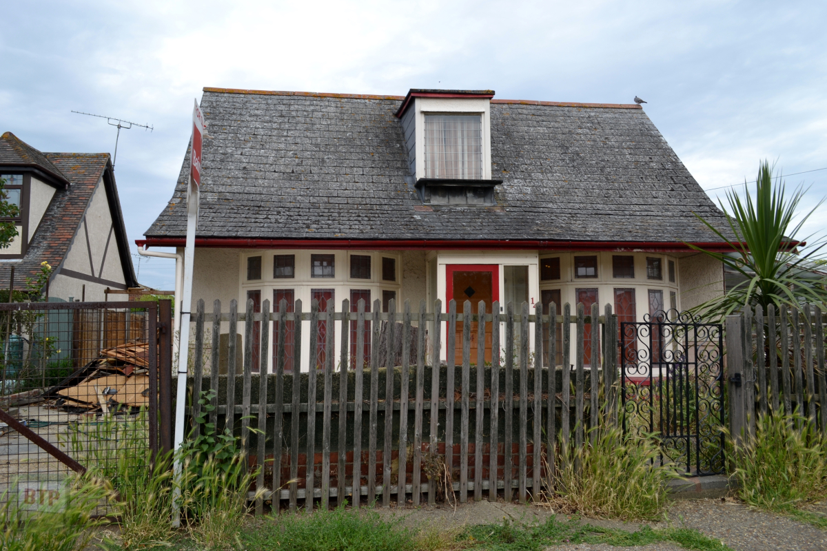
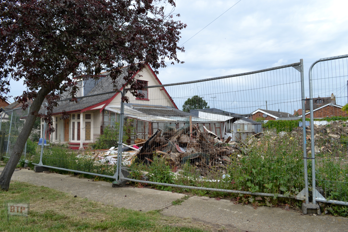
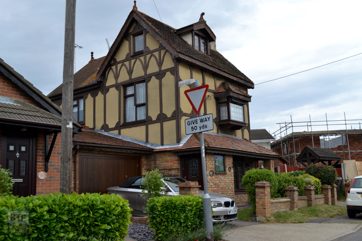
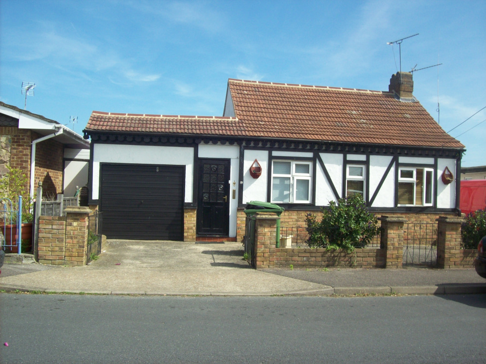
1930s’ Fielder bungalow down Paarl Road 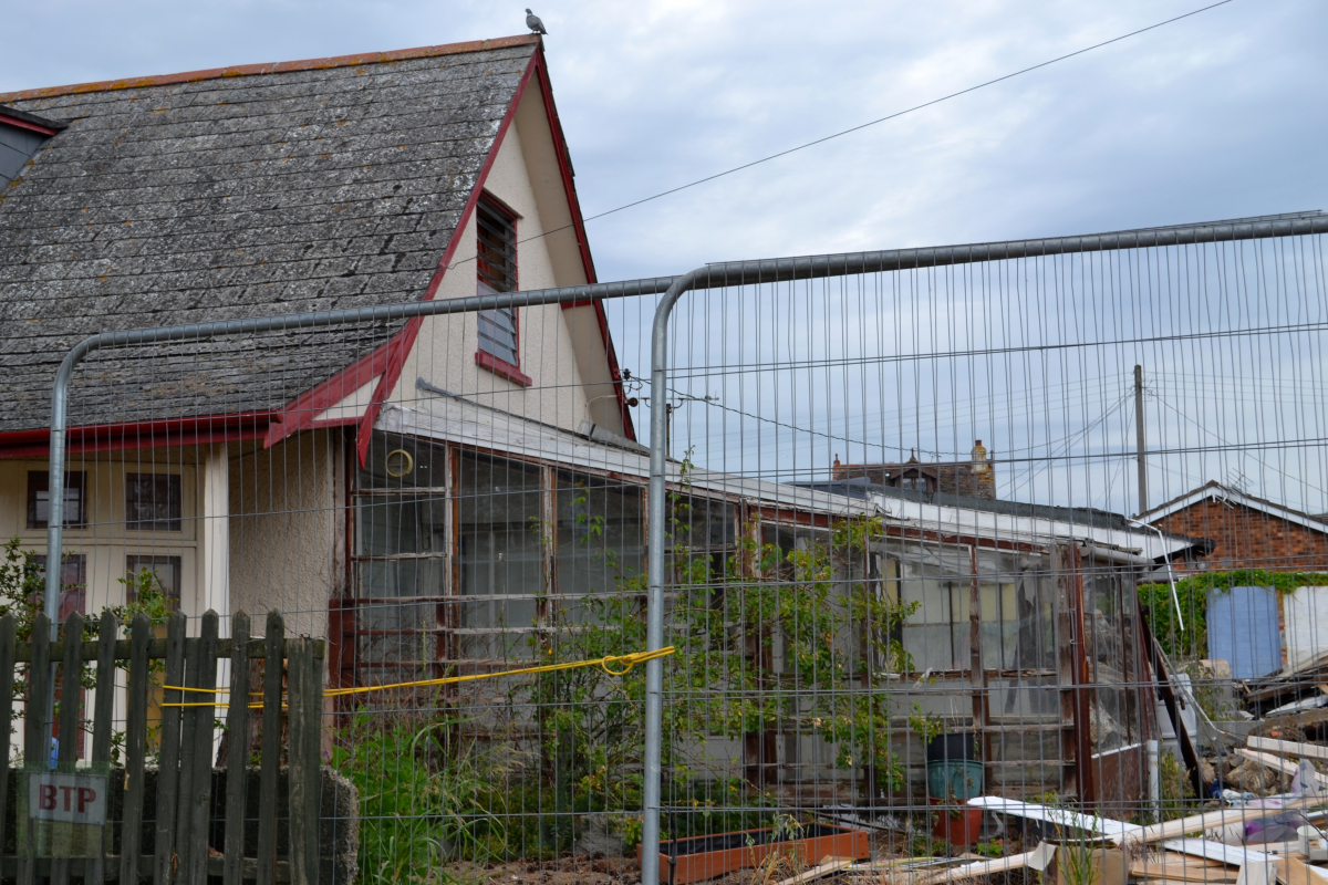
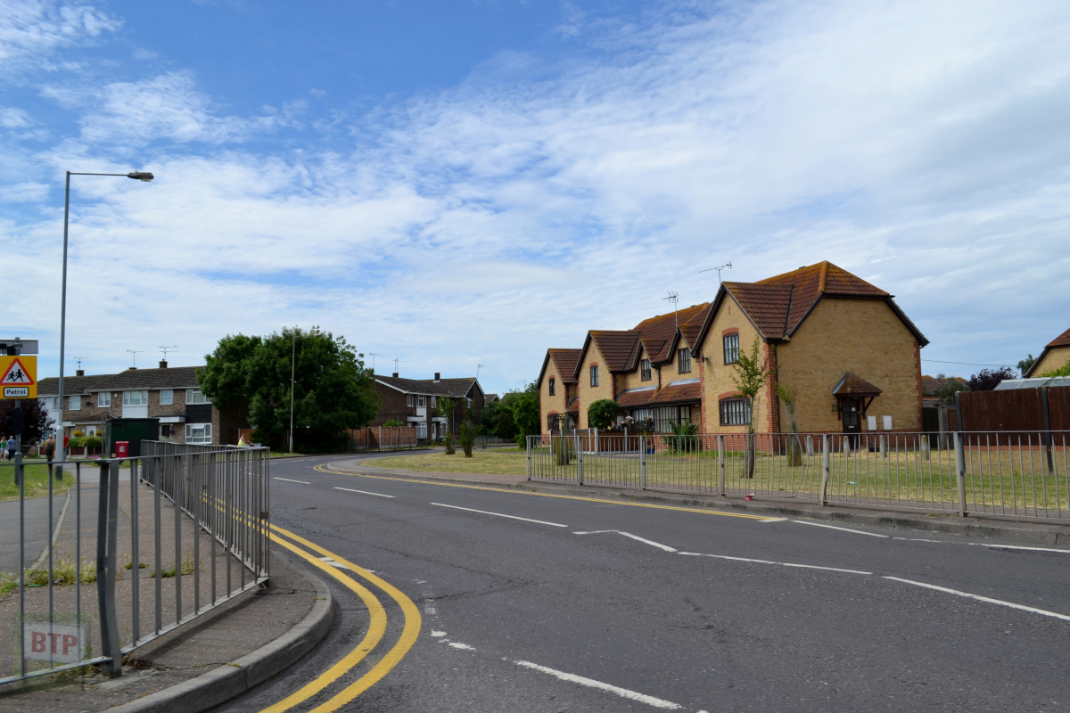
The location of Tantelen Road opposite Morrisons/Silver Jubilee 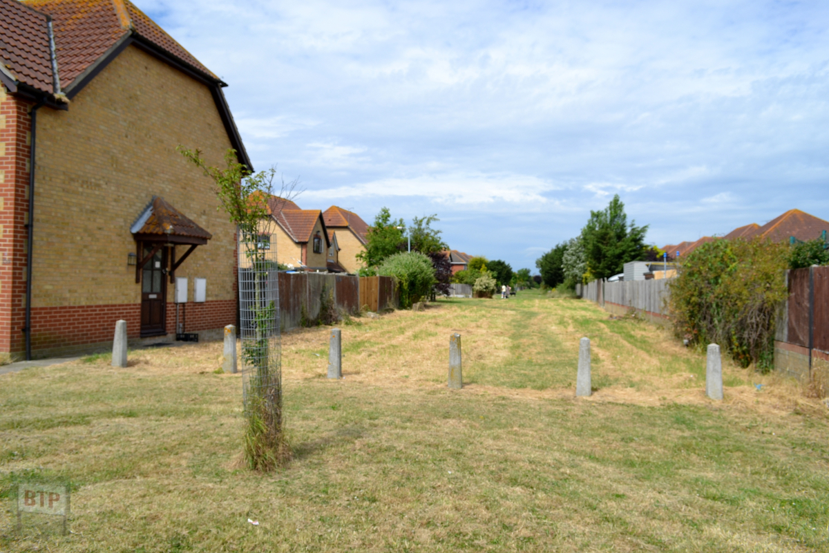
Tantelen Road is a grass road inaccessible to vehicles, yet houses still face it. A glimpse into old Canvey before proper roads. 
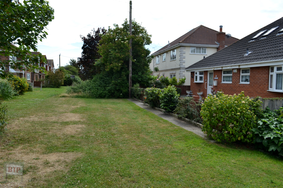
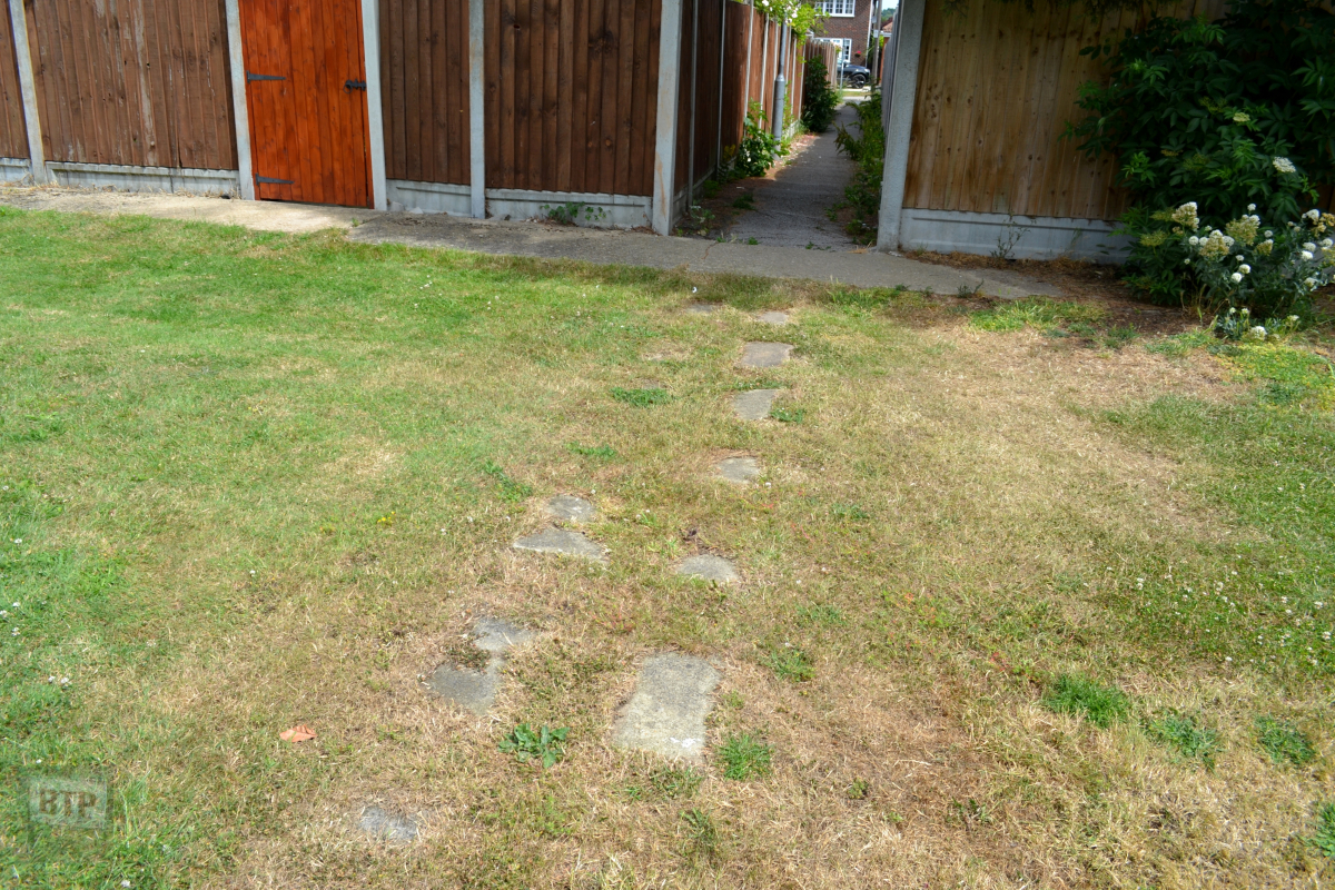
Pathway at Tantelen Road 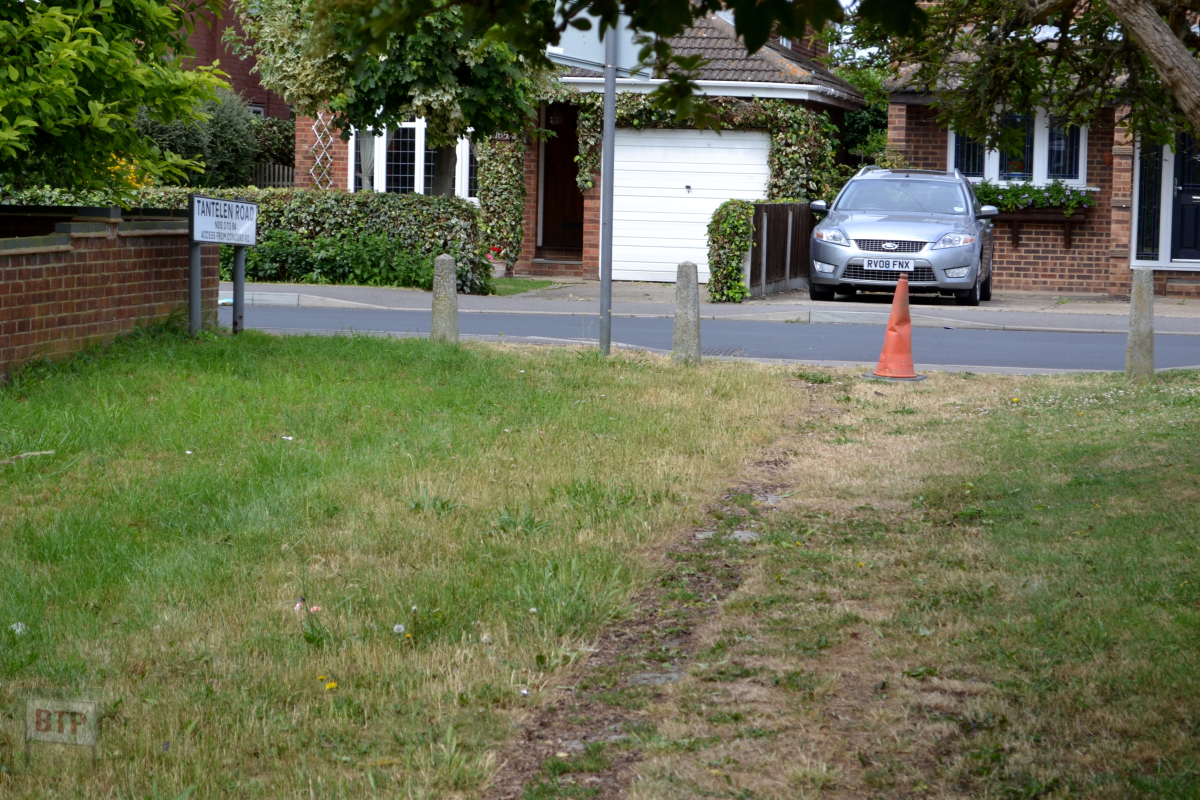
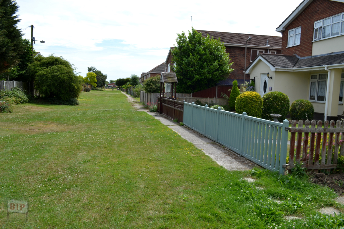
Alleyway path coming out onto Tantelen Road 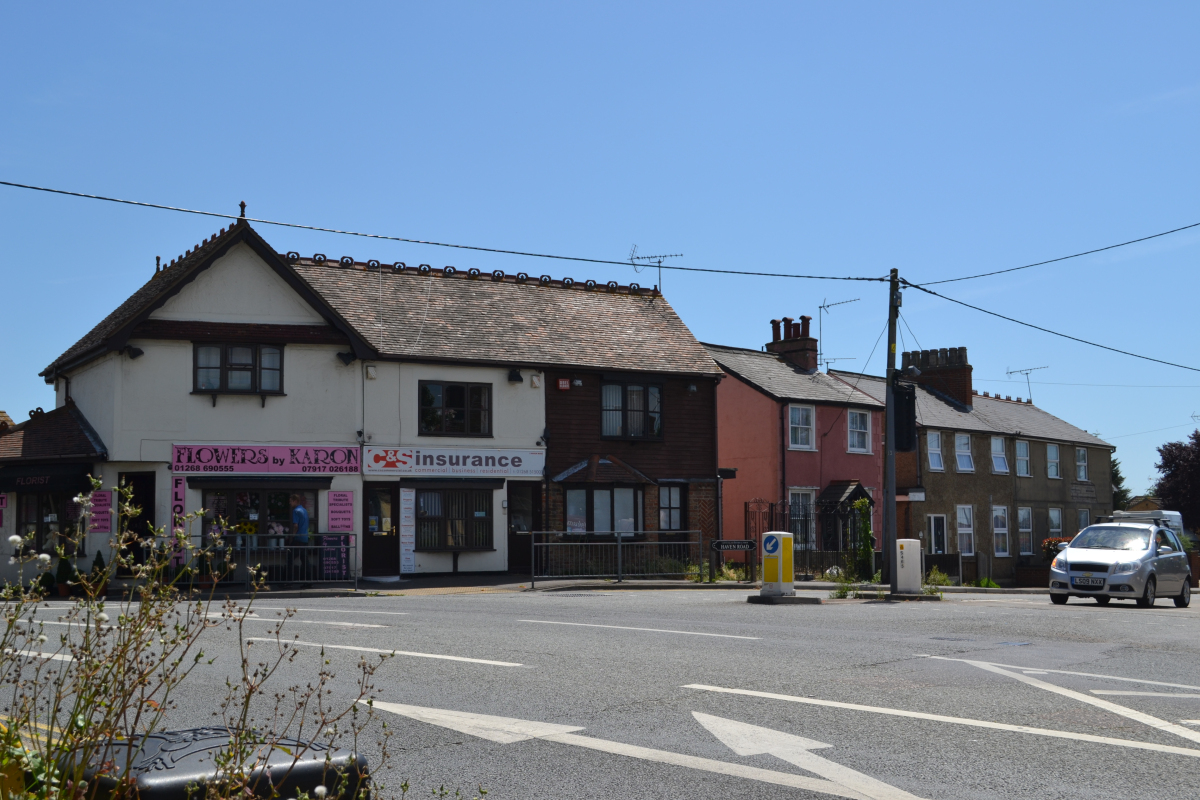
The 1700s Village houses and shops
c. Early 2013 – Leigh Beck Area
Various shots showing various features and buildings of interest.
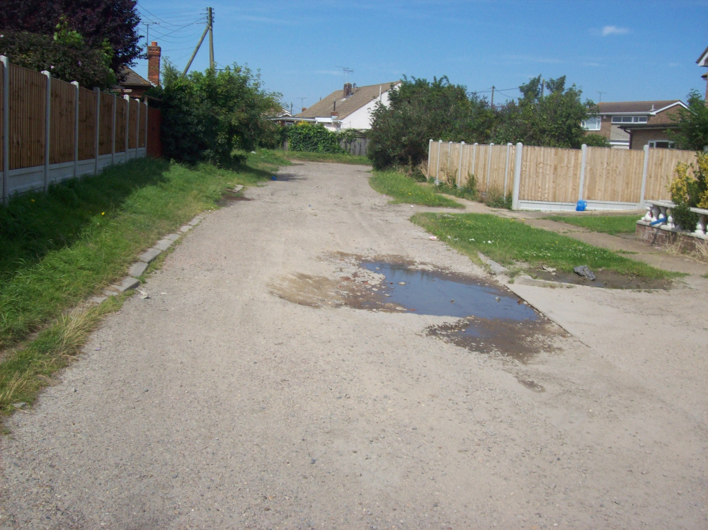
Unmade road, St. Annes 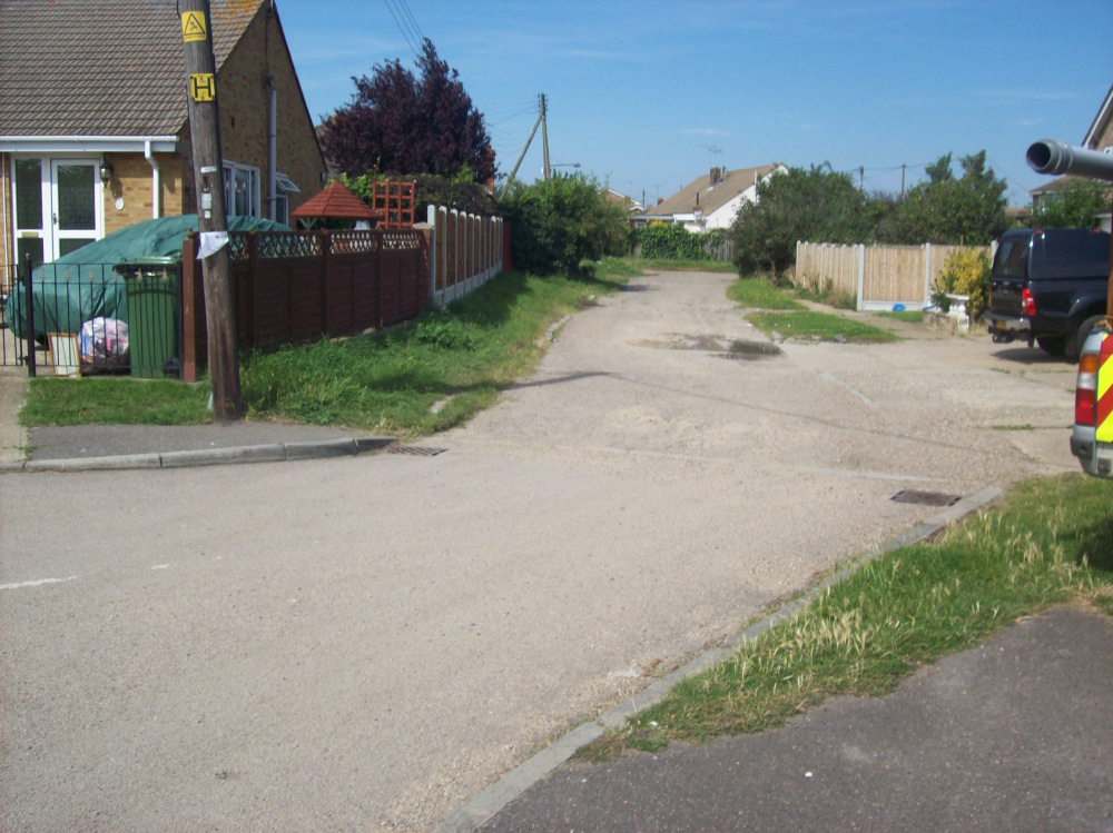
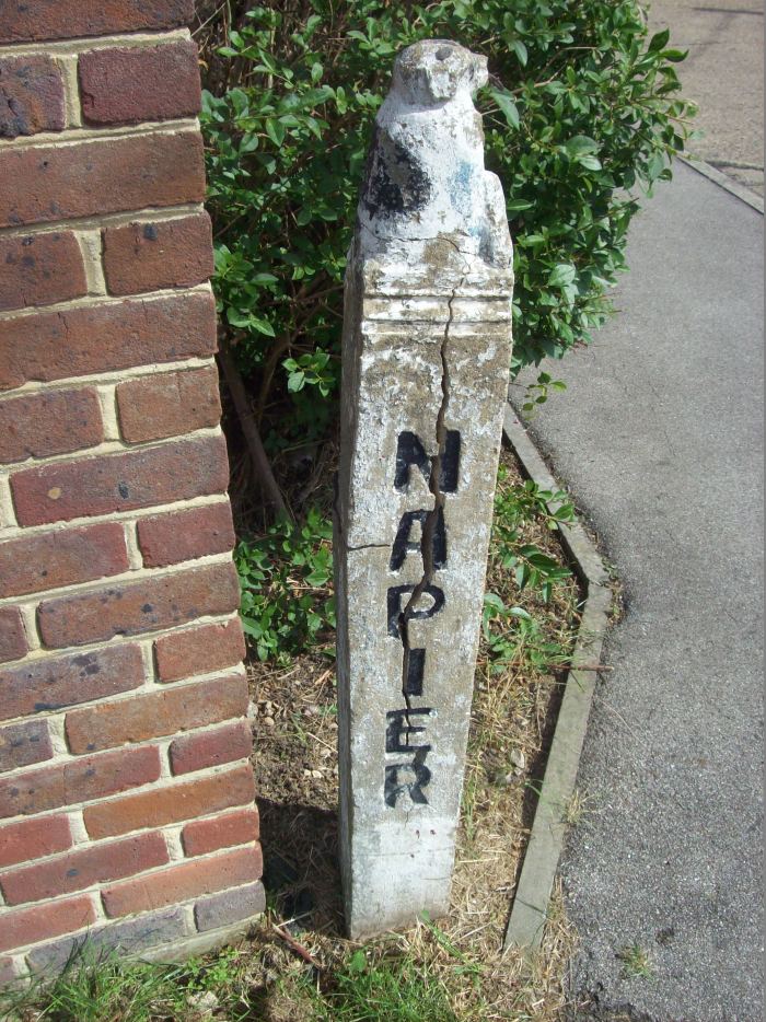
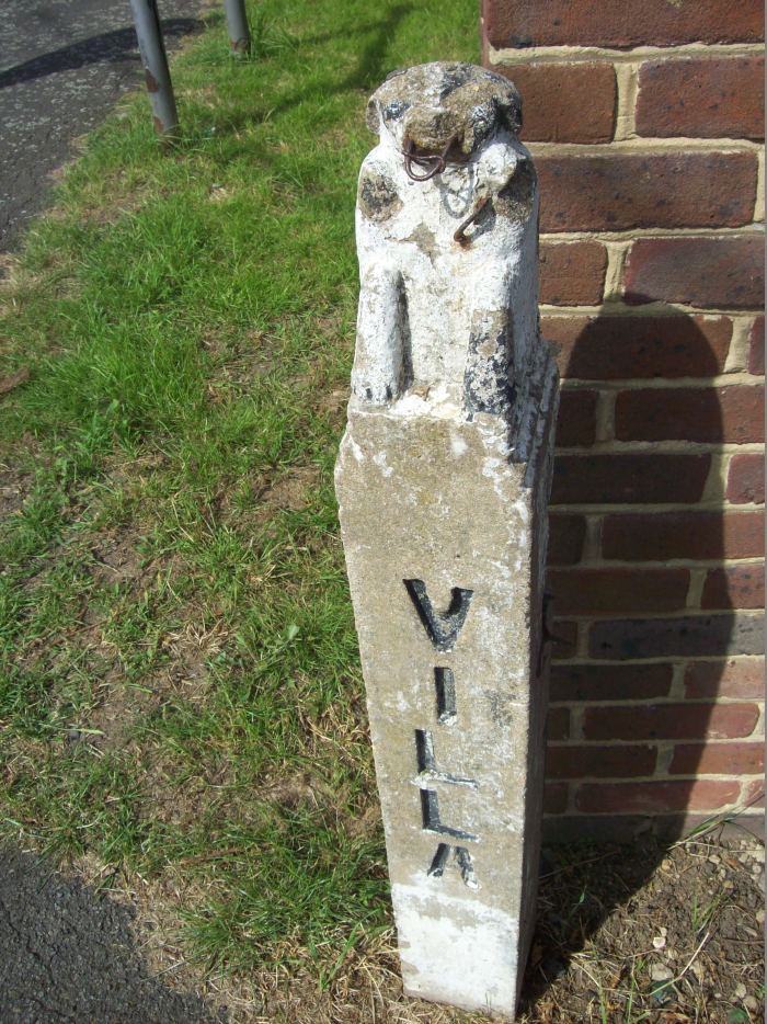
Entrance post of old interwar house, seen in old photos 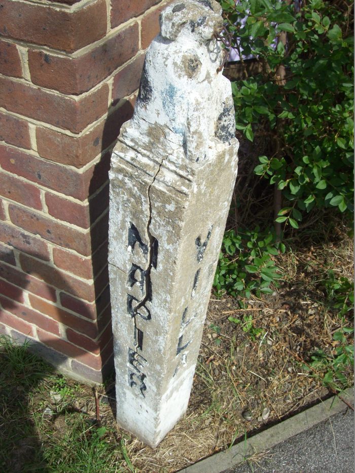
The former newspaper publishing house of Fred McCave 
Summer 2013 
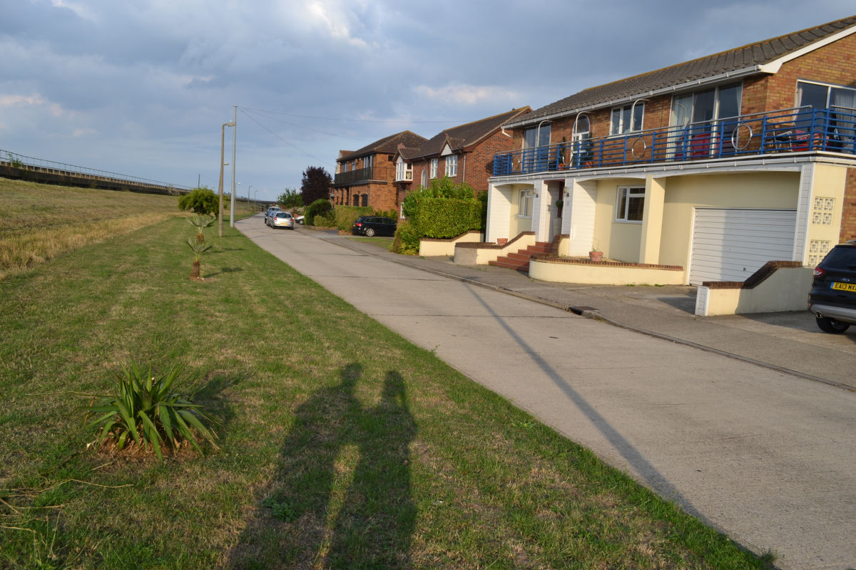
Summer 2013 – old house facing seawall, Newlands 
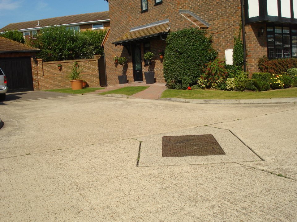
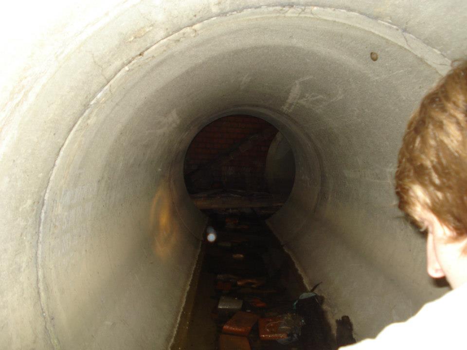
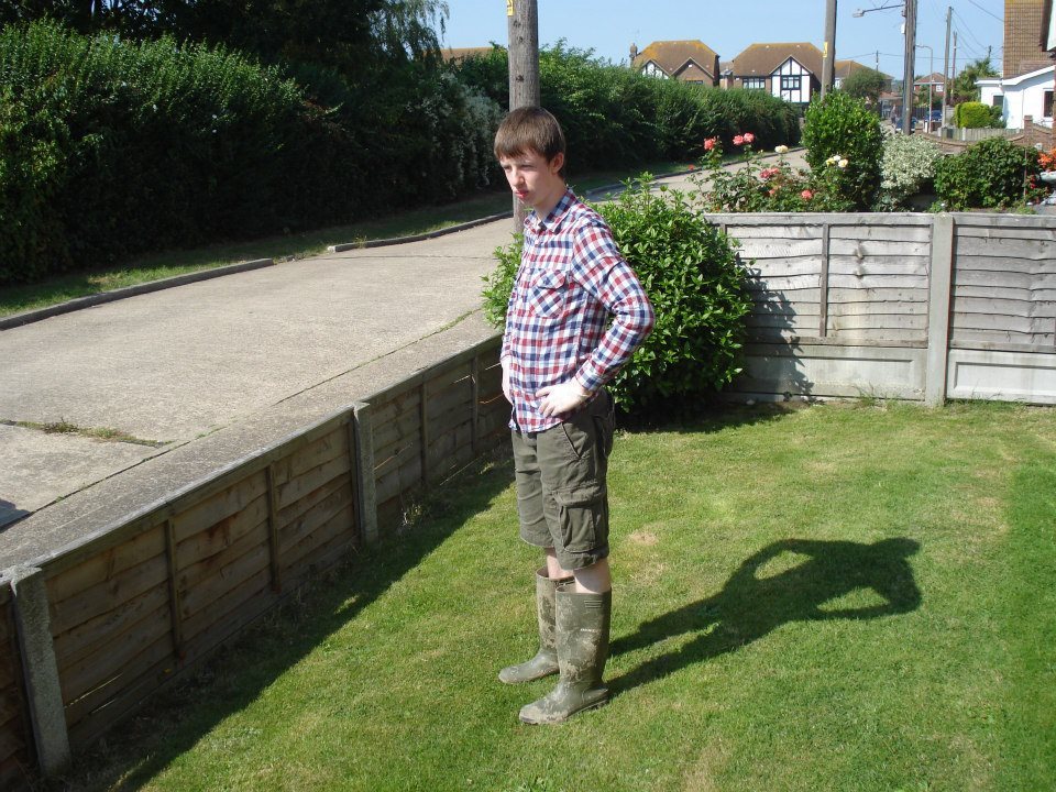
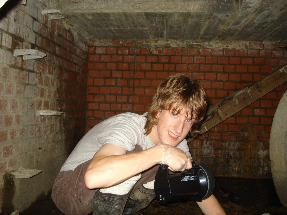
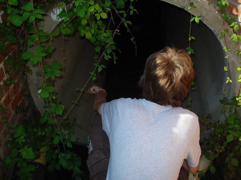
Summer 2012 – Kismet Park Drain
In our early forays into urban exploration, we decided to venture into a Kismet park drain built around 2001 with the new houses which it runs under – we didn’t get very far! Most of Canvey’s drains are probably developed from the dykes cut through its fields and marshes when the island was reclaimed by Cornelius at the turn of the 16th century.